The integration of LiDAR technology with 360-degree cameras has revolutionized how we capture and interpret our surroundings. LiDAR, which stands for Light Detection and Ranging, uses laser light to meticulously measure distances, creating precise three-dimensional information about the shape and surface of an area or object. When this technology is coupled with 360-degree cameras, it enables the creation of highly detailed environmental models with rich visual context. This synergy offers you an unparalleled ability to understand and interact with spaces, whether you’re involved in architecture, archaeology, or virtual reality.
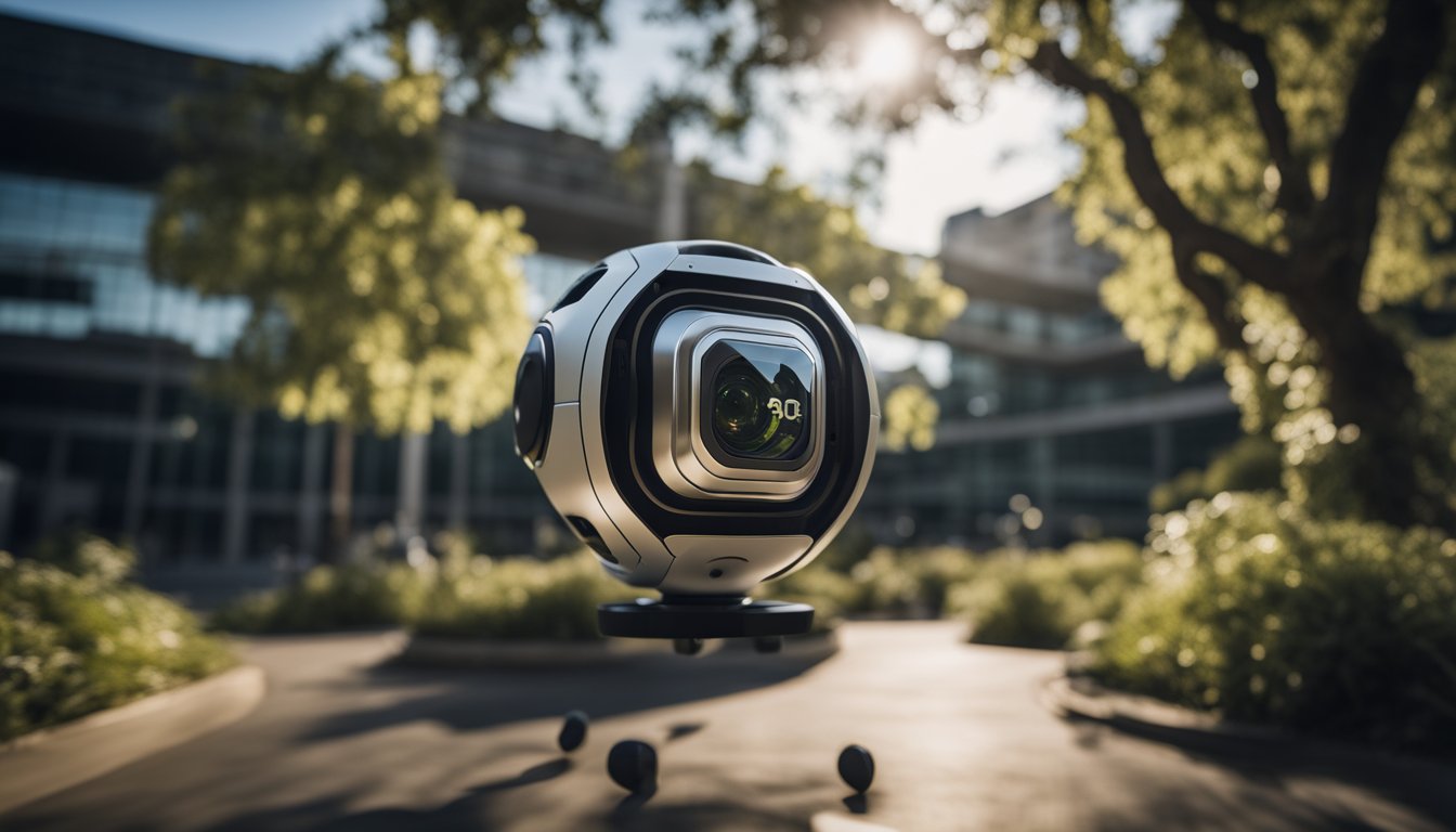
Advancements in this field have made these sophisticated tools more accessible than ever. Modern 360-degree cameras with LiDAR are not only more affordable but also easier to use, putting this powerful technology into the hands of professionals and enthusiasts alike. The practical applications span various industries, including construction, real estate, and autonomous vehicle development, by providing high-resolution, georeferenced panoramic images coupled with accurate spatial data. Plus, the user-friendly nature of current models ensures that you can leverage these benefits with minimal training, making advanced 360 LiDAR mapping solutions within your reach.
Key Takeaways
- LiDAR technology enhances 360-degree cameras with precise environmental measurements.
- These integrated devices are increasingly accessible and user-friendly.
- They are vital across numerous fields for creating detailed, photorealistic 3D models.
Understanding 360 Cameras with LiDAR
https://www.youtube.com/watch?v=xoikIW0i1vo&embed=true
When you’re exploring 360-degree cameras with LiDAR technology, you’re delving into a world where photography meets advanced sensing capabilities. A LiDAR sensor uses light in the form of a pulsed laser to measure variable distances to the Earth. These light pulses—combined with other data recorded by the airborne system—generate precise, three-dimensional information about the shape of the Earth and its surface characteristics.
360 cameras, traditionally known for their ability to capture a full spherical view of the surroundings, are now being enhanced with LiDAR. This combination means you not only get a panoramic photo or video but also obtain a detailed spatial map of the environment. LiDAR adds depth data to the imagery, which is particularly useful in creating high-definition maps and models for various applications.
Here’s what you gain with this technology:
- Depth Perception: Unlike traditional cameras, a 360-degree camera with LiDAR captures the third dimension, providing a detailed sense of depth in your images.
- Precision: The overlapping of LiDAR point clouds with images from the camera results in highly accurate digital models.
- Versatility: Whether it’s for mapping, surveying, or even robotics, these cameras provide a tool that can understand and navigate spaces with a high level of detail.
To bring this into perspective, a device like the Insta360 ONE X is noted for its ease of use and high-quality resolution, making it a user-friendly option that’s akin to the accessibility of an iPhone.
Remember, by integrating LiDAR into 360-degree cameras, you’re not just capturing images; you’re capturing environments with precision that can be transformed into actionable data.
Key Features of 360 LiDAR Cameras
https://www.youtube.com/watch?v=LSbrPlJzal0&embed=true
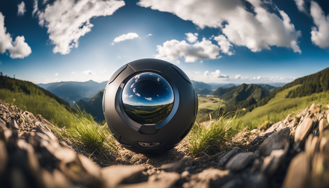
When you’re looking to capture the world around you in high detail, 360 LiDAR cameras offer cutting-edge capabilities. They combine high-resolution imaging with comprehensive field-of-view coverage for detailed 3D mapping.
Resolution and Image Quality
Resolution: The ability of a 360 LiDAR camera to produce fine, clear images hinges on resolution. These cameras can provide highly accurate 3D digital models, thanks to their advanced laser pulse technology, which captures a vast number of data points.
« Are 360 Cameras Worth It? Unveiling Their True Value in Today’s Technology
360 Cameras vs Action Cameras: Choosing the Right Adventure Companion »
Image Quality: You’ll find that the combination of LiDAR with camera technology ensures that both your daytime and nighttime images are crisp and detailed, essential for applications like digital twins or advanced security systems. The Leica BLK360 even captures a 360 thermal image, a testament to their versatility.


Field of View
Field of View (FoV): The FoV is a critical aspect, determining how much of the environment the camera can capture in a single shot. Many 360 LiDAR cameras boast an impressive 360-degree field of view, allowing for a complete surround view without any blind spots.
Battery Life and Portability
Battery Life: Despite the power-hungry nature of LiDAR technology, some cameras are designed to maximize efficiency. Battery life will vary, but your choices include models that strike a balance between consumption and performance – critical for extended field work.
Portability: Size and weight are important if you need to transport your camera to various locations. Fortunately, modern 360 LiDAR cameras tend to be small and lightweight, making them a convenient tool for capturing 360 photos in a variety of settings.
Integration of LiDAR in 360 Cameras
https://www.youtube.com/watch?v=BghkV4K1VYI&embed=true
When you merge LiDAR technology with 360 cameras, you unlock the ability to capture comprehensive geospatial data and create detailed 3D models.

Point Cloud Creation
LiDAR, an acronym for Light Detection and Ranging, works by emitting laser light to measure distances to earthbound objects, thus enabling the generation of point cloud data. When this technology is integrated into 360 cameras, it allows for the creation of point clouds that represent the external environment in three dimensions. This blend helps you—in sectors such as surveying and construction—to conduct mobile mapping with a significant upgrade in accuracy and detail.
3D Modeling and Mapping
Building on the data obtained from point clouds, you can use LiDAR-equipped 360 cameras to construct 3D models of buildings, landscapes, or cityscapes. This combination is transforming 3D modeling and mapping, offering a clear, geo-referenced, image-like digital representation of the environment. The output is particularly valuable for geospatial data collection, providing key insights required for urban planning, architecture, and various engineering applications.
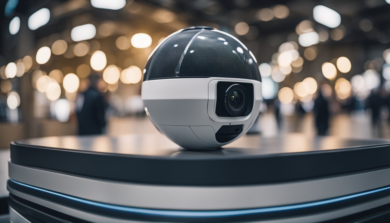
Popular 360 LiDAR Camera Models
In this section, you’ll discover some of the market’s leading 360 cameras equipped with LiDAR technology. Each model offers a unique set of features tailored for high-definition and accurate environmental capture.
https://www.youtube.com/watch?v=dgQKaEZORro&embed=true
Leica BLK360
The Leica BLK360 is a pioneer in the field, known for its precision and quality. It captures detailed 360-degree scans with its depth-sensing LiDAR capabilities, allowing for accurate 3D models. The BLK360 is not only a favorite among professionals for its performance but also for its portability and ease of use.
Insta360 X3
With the Insta360 X3, you get more than just a 360 camera; you get a versatile device capable of 5.7K video capture and a 72MP photo resolution. Alongside these features, it offers robust stabilization and AI editing tools, making it an ideal choice for action capture and content creation that require detailed environmental data.
Matterport Pro3
When it comes to creating comprehensive digital twins of any space, the Matterport Pro3 stands out. The Pro3 isn’t just another camera; it integrates seamlessly with Matterport’s powerful cloud processing to deliver precise 3D models. It’s particularly suited for industries like real estate and construction where accurate measurements are crucial.
Practical Applications
https://www.youtube.com/watch?v=gEUk7YzfTcc&embed=true
Integrating 360-degree cameras equipped with LiDAR technology has revolutionized how you interact with and document the physical world. These devices not only capture high-resolution images but also provide accurate spatial data, enhancing various industry practices with efficiency and detail never seen before.
Construction and Architecture
In construction and architecture, LiDAR-enabled cameras are indispensable for creating detailed 3D models of buildings and landscapes. You’ll find them crucial for site surveying and planning, enabling you to capture comprehensive horizontal views necessary for accurate measurements and planning spaces. This technology simplifies monitoring construction progress and verifying it against plans.
- Key Uses in Construction and Architecture:
- Site surveying
- 3D modeling
- Progress monitoring
Forestry and Mining
For forestry and mining, these cameras provide you with essential data without disturbing the environment. In forestry, LiDAR facilitates the management and analysis of vegetation, helping you assess the forest health and plan sustainable logging activities with precision. In the mining sector, they allow for the assessment of potential sites and help in managing the volumetric measurements of stockpiles and excavations.
- Key Benefits for Forestry and Mining:
- Environmental impact assessment
- Volumetric analysis
- Resource management
Virtual Tours and Adventure
Imagine offering or experiencing interactive virtual tours of properties or historic sites without leaving your home. 360 cameras with LiDAR bring this convenience to you, as they are capable of creating immersive 3D walkthroughs for real estate, museums, or touristic attractions. For adventure, LiDAR tech allows you to relive outdoor experiences in compelling ways or plan your trips by reviewing detailed virtual representations of remote locations.
- Virtual Engagement:
- Real estate showings
- Museum tours
- Adventure planning
Technological Advancements
https://www.youtube.com/watch?v=l20TptB53RE&embed=true
As you explore the world of 360 cameras complemented with LiDAR, you’ll find that technological advancements are reshaping what’s possible. These improvements span from the precision of laser scanning to the capabilities of sensors, right through to the versatility of software solutions.
Laser Scanning Technology
Your understanding of mapping and 3D modeling takes on a new dimension with updates in laser scanning technology. GreenValley International has pioneered the integration of premium 360 cameras into their mobile LiDAR mapping, enhancing the accuracy of recorded 3D point cloud data. The detail and realism these tools provide can transport you from mere data collection to crafting immersive virtual environments.
Lidar Sensor Developments
Developments in LiDAR sensor technology continue to impress, particularly when it comes to autonomous vehicles. Innovations such as the all solid-state LiDAR sensor that sees 360 degrees are significant. This sensor recognizes objects in every direction, projecting light to build a comprehensive understanding of the scene. It’s akin to providing cars with a full-spectrum view, crucial for safe navigation.
Software and SDK Innovations
Software advances, including Software Development Kits (SDKs), make the most of the data gathered by these sophisticated cameras and sensors. Enhanced SDKs allow developers to create applications that can manipulate vast quantities of imaging and LiDAR data, crafting a high-definition, accurate view of the world. These tools are vital in processing, analyzing, and integrating LiDAR data with other technologies, allowing for the creation of ever-more detailed and realistic models.
Cost Considerations
https://www.youtube.com/watch?v=D-ufJEp-BHk&embed=true
When considering a 360 camera with LiDAR, it’s essential to understand not only the initial price but also the long-term costs associated with capture services and total ownership.
Price Range
360 cameras equipped with LiDAR technology vary widely in their initial purchase price. You might find entry-level models starting around $1,000, while pro-grade systems can exceed $15,000. Factors that influence the cost include resolution, measurement accuracy, and additional features like GPS integration.
Capture Services Pricing
If you’re opting for capture services rather than purchasing equipment, pricing can be based on the project size or a daily rate. Services may range from $500 to several thousand dollars per day, depending on the provider and the complexity of the environment you need to map.
Total Ownership Cost
Besides the purchase price, the total cost of ownership over time includes maintenance, software subscriptions, and potential hardware upgrades. For instance, yearly software licenses can cost up to a few hundred dollars, and additional accessories or replacement parts might be a necessary investment to keep your system operational.
Usage Tips and Best Practices
https://www.youtube.com/watch?v=kI-jJUr9rH8&embed=true
When using a 360-degree camera with LiDAR, the goal is to achieve the highest level of detail and precision possible. Ensuring proper maintenance and understanding the calibration process will greatly enhance the performance of your technology.
Maximizing Accuracy
To maximize the accuracy of your LiDAR-equipped camera, you should:
- Choose the right environment: Avoid excessive vibration and unstable surfaces that can affect the LiDAR’s sensors.
- Update the software regularly: Keeping your device’s software up to date ensures improved algorithms and bug fixes that enhance accuracy.
- Manage data storage wisely: Use high-quality storage solutions to prevent data corruption, which can lead to inaccuracies.
Maintenance and Calibration
Proper maintenance and calibration are crucial for the long-term accuracy of your camera:
- Clean the lenses and sensors regularly: Use a soft, dry cloth to remove any dirt or debris from the lens and sensor areas.
- Follow manufacturer guidelines for calibration: Refer to your device’s manual for specific calibration instructions.
- Schedule regular check-ups: Just like any precision instrument, periodic professional inspections can help maintain optimal performance.
Maintaining your camera and ensuring its calibration is precise guarantees the best quality data from your LiDAR equipment.
Market Trends
https://www.youtube.com/watch?v=zREAEdXzOcw&embed=true
The landscape of 360 cameras equipped with LiDAR technology is rapidly evolving, impacting various market segments, especially in the business and enterprise domains. You’ll see a rise in adoption rates recognizing the value of advanced imaging and spatial data, particularly in areas like enterprise solutions and emerging markets.
Emerging Markets
Emerging markets are embracing 360 cameras with LiDAR to fuel innovation in sectors you might not expect, such as construction and real estate. Thanks to the ability to accurately map environments, this technology offers a significant advantage for your small and medium-sized business ventures by providing detailed insights for planning and development. The global reach of LiDAR tech is also becoming more prominent as the cost decreases, enabling wider accessibility and varied applications beyond traditional uses.
Enterprise Solutions
For enterprises, incorporating 360 cameras with LiDAR spells a revolution in how you manage large-scale projects and maintenance. This integration promises to increase efficiency through precise spatial measurements and immersive visualization tools. Construction businesses, in particular, benefit from the ability to capture comprehensive data sets for site planning and monitoring. This trend aligns with current market predictions that the LiDAR market size is expected to grow significantly, specifically aiming to meet the sophisticated demands of enterprise-level applications.
Related Technologies
As you explore the world of 360 cameras with LiDAR, it’s essential to know how this technology dovetails with other advanced systems like digital twins and mobile mapping. Here, we’ll guide you through two prominent related technologies that complement and enhance LiDAR applications.
Digital Twins and Virtual Reality
Digital twins are dynamic and virtual representations of a physical object, system, or environment that can interact with their real-world counterparts. When combined with LiDAR-based cameras, these replicas become highly accurate and detailed. For instance, the intricate data captured by LiDAR can be fed into a digital twin model, allowing for real-time monitoring and simulation. This is especially valuable in industries like construction, where you can navigate through a virtual reality (VR) simulation of your project, gaining insights that were not possible before.
Mobile LiDAR and GPS Systems
In the domain of mobile LiDAR, your LiDAR-equipped device, such as an Android phone, captures detailed geospatial information on the move. This data, when merged with GPS (Global Positioning System) data, can produce comprehensive and accurate mappings of the surrounding environment. Professionals use this for everything from urban planning to forestry management. Moreover, the accessibility of such technologies has expanded with the advent of Android platforms, allowing for wider use and integration of mobile LiDAR applications.
By understanding these technologies, you can fully appreciate the scope and potential that 360 cameras with LiDAR offer.
Camera System Compatibility
https://www.youtube.com/watch?v=fD8wzcRgDLs&embed=true
When it comes to enhancing your camera’s capabilities, especially if you’re invested in 360-degree imaging and LiDAR technology, you’ll find that compatibility between different camera systems can significantly expand your horizons.
Integrating with Other Cameras
You might be interested to know that certain camera systems allow for seamless integration with other cameras. For example, the Insta360 One R elegantly pairs with LiDAR technology to cater to various professional needs, such as enhanced 3D mapping. This level of compatibility ensures that you can combine the high-resolution capture capabilities of the Insta360 with detailed point cloud data provided by LiDAR scanners.
Modular Design and Expansion
The concept of modular design has revolutionized the way you can use cameras like the GoPro Max and the Insta360 One R. Modular design means that these cameras are not just fixed-function devices; they can be expanded or modified with additional components. For instance, the Insta360 One R’s modular design supports different lenses and sensors, allowing you to tailor your equipment to your specific project needs or upgrade it as technology evolves. This flexibility makes it a favorite among both professional and enthusiast action cam users.
Frequently Asked Questions
When delving into the world of 360 cameras equipped with LiDAR, you’ll come across various features that enhance photogrammetry and 3D mapping. This section addresses your most pressing queries, helping you find the camera that perfectly aligns with your needs and budget.
What factors should I consider when choosing a 360 camera with LiDAR for photogrammetry?
You should look for high resolution, frame rate capabilities, and a robust LiDAR sensor that can deliver accurate spatial data. Good battery life and ease of use are important for field work.
How does LiDAR technology enhance 360 cameras for 3D mapping?
LiDAR technology provides precise distance measurements, making 360 cameras particularly powerful for creating detailed and accurate 3D maps with depth information.
What are the cost-effective options for 360 cameras with LiDAR features?
There are options available that strike a balance between performance and cost. Research which models offer the essential features you need for LiDAR integration without overshooting your budget.
Can the Insta360 X3 be integrated with LiDAR for 3D scanning?
The Insta360 ONE X, a predecessor to X3, doesn’t natively support LiDAR. However, third-party solutions may allow integration for enhanced scanning capabilities. For details on the ONE X’s capabilities, you might find this link useful.
Are there hobbyist-level 360 cameras with LiDAR suitable for Arduino projects?
Yes, there are 360 cameras and LiDAR systems that can be integrated into Arduino projects, which are ideal for hobbyists looking to experiment with robotics and spatial mapping.
How does LiDAR’s accuracy compare to traditional 360 cameras without LiDAR for environmental modeling?
LiDAR-equipped cameras offer superior accuracy in environmental modeling, particularly in terms of depth and dimension, as opposed to traditional cameras that rely solely on visual data.


